Coming soon to Mac, Windows & Linux
Measure twice.
Build once.
plot first.
Position your sheds, fences, tanks, and paddocks on your actual property. See how it all fits before you commit to a build.
Position your sheds, fences, tanks, and paddocks on your actual property. See how it all fits before you commit to a build.
You don't need a CAD background. PLOT is purpose-built for rural and acreage properties, with practical tools for practical people.
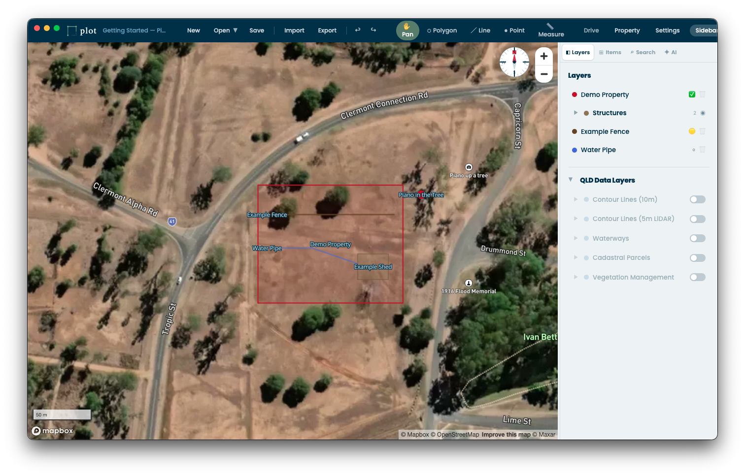
Plan on your real land. See every tree, dam, and existing structure as you position new infrastructure.
Pro subscribers get suggestions for where infrastructure should go based on terrain and conditions. Multiple layout options, ranked by fit.
Sheds, fences, water tanks, power runs, paddocks, dams, driveways, and custom types for anything else.
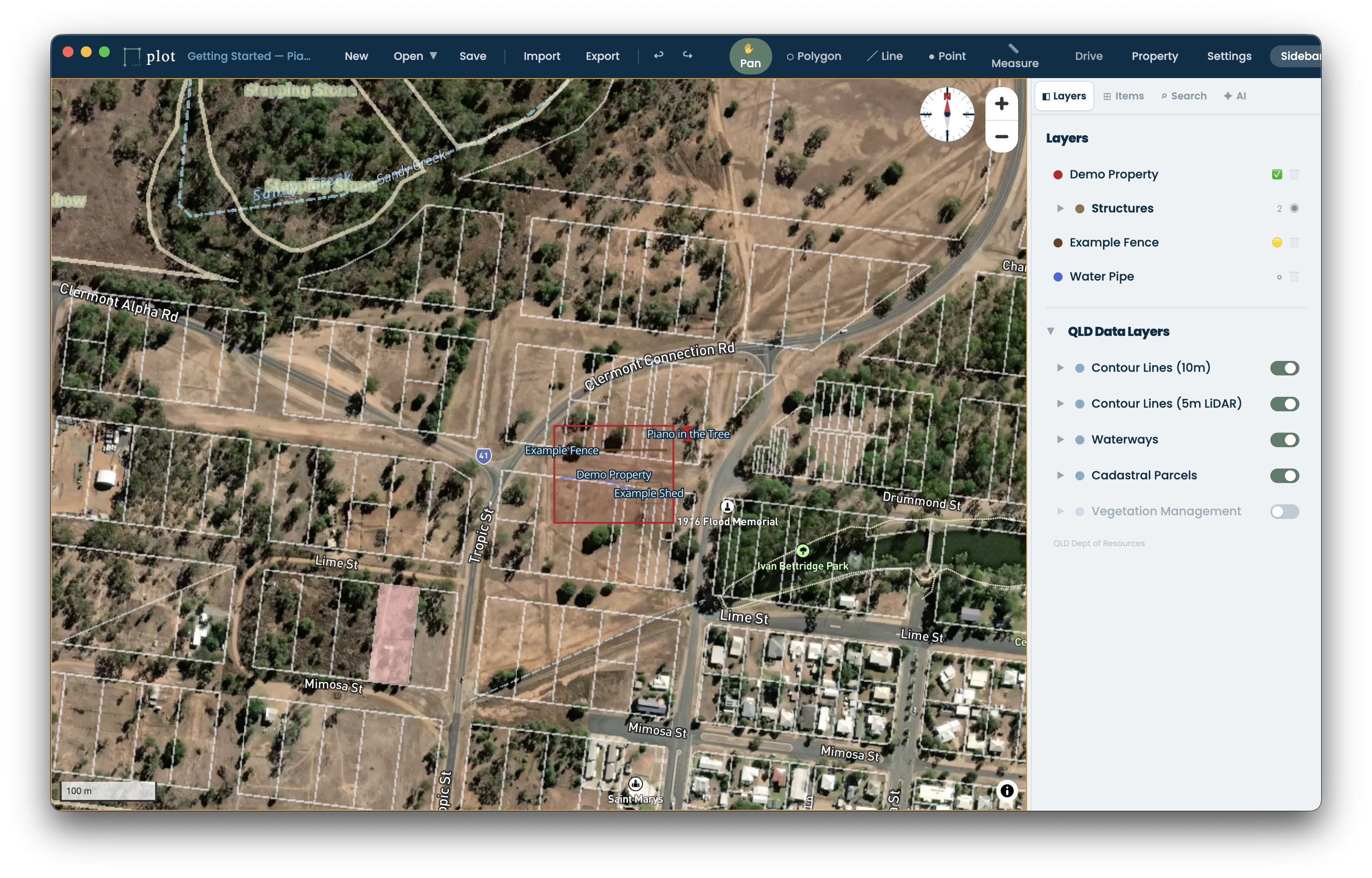
Overlay official data from government and open data resources including zoning, flood maps, soil types, and property boundaries.
Know where every piece of infrastructure sits, including buried water lines, underground power, and drainage. Track changes over months and years as your property develops.
Projects save as .pplan files on your machine. Export to image or PDF for contractors and council submissions.
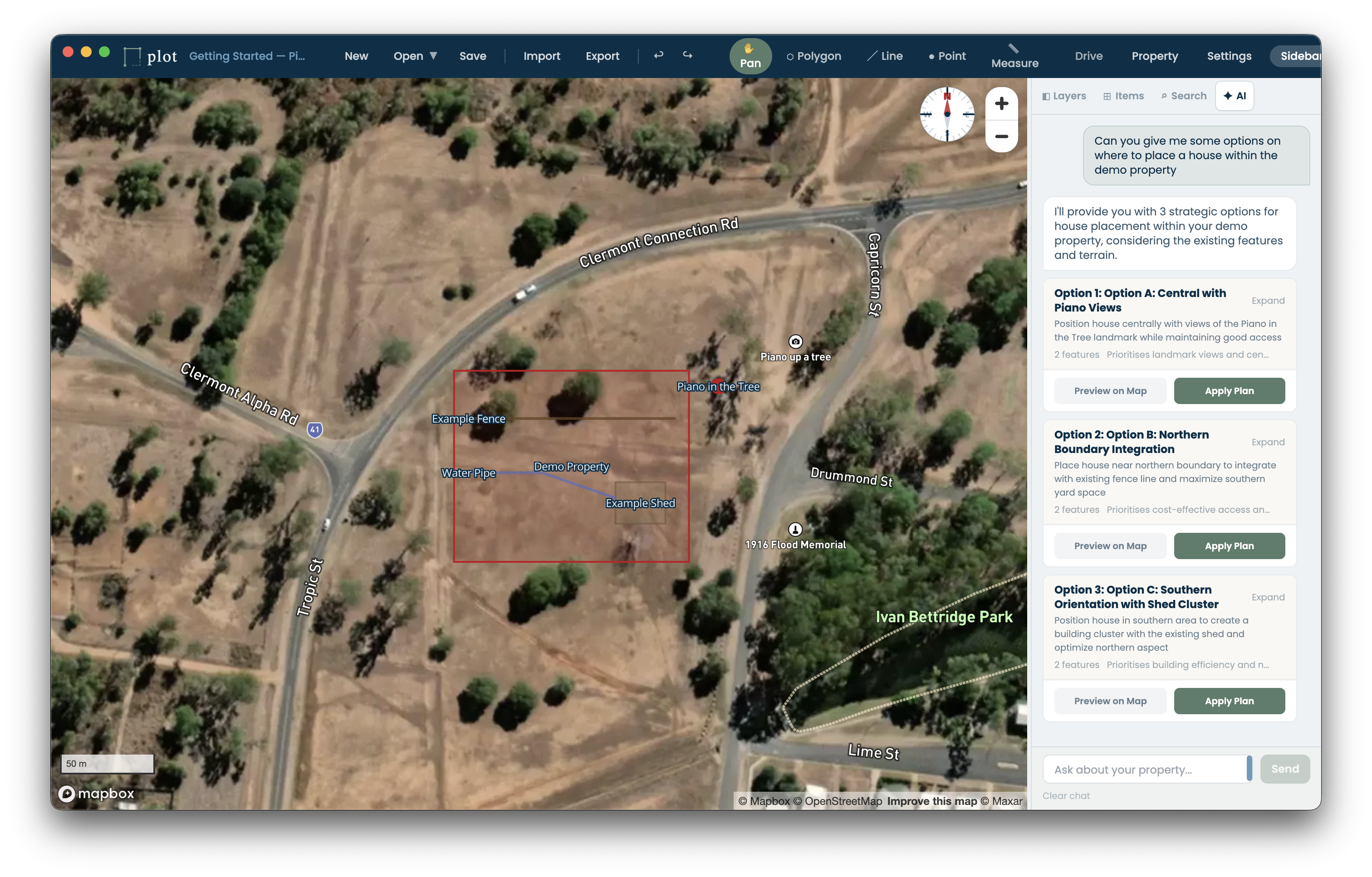
Tell plot what you want to place. It looks at your property's terrain, slope, and existing infrastructure, then generates multiple layout options so you can pick the one that works.
Properties evolve over years, not days. PLOT lets you maintain multiple concept plans, compare them, then track execution as you build. Every change is versioned so you always know what was planned versus what actually went in.
25+ infrastructure types built in. Need something specific? Create custom types for anything we haven't covered.
Everything you need to lay out your property is free. Upgrade to Pro for layout assistance, satellite imagery, and version control.
Got a question about plot, need a hand with a custom setup, or want to talk enterprise? We're here to help.
PLOT is coming soon for Mac, Windows, and Linux.
Sign up to be notified when it launches.